Did you happen to uncover some of your Saskatchewan ancestor’s homesteads or farms and end up with a designation like SW-16-09-24-W2? Google Maps will not help. How can you find the location of the land on a map? We’ll help.
Dominion Land Survey
These designations are part of the land survey system called the Dominion Land Survey (DLS) which was implemented in about 1871 when the settlement of the Canadian Prairies was set to begin. This method of land surveying covers the whole provinces of Saskatchewan and Alberta. It is also used for the western portion of Manitoba and small segments of British Columbia. You can read about it in detail in the Wikipedia Article: Dominion Land Survey.
Google Maps
You will see below that we have done a bit of work with Google Maps on this page to create some maps. Initially out of innocence we thought that a spreadsheet could be made with some of the coordinates and then calculate points of longitude and latitude which be plugged into Keyhole Markup Language (KML) files. The resulting map overlays did look good but, the devil as they say, is in the details. The overlays were useless.
Once we compared the calculated results to actual DLS locations we had only been successful in representing land locations in some areas but not others. It turns out that as you move from east to west adjustments must be made because the early manual surveys contained small errors. The same goes for moving from south to north. If we used simple math to calculate coordinates they become inaccurate the farther they got from the starting point. The amount of ‘drift’ is quite dramatic over short distances in some regions. With each adjustment made, they got closer. We came to understand some of the more technical descriptions in the explanations of the surveys. We now understand the work that we still need to do and have thrown up our hands for the moment.
So, even though a lot of work has been put into these map overlays than we ever wanted, they are still far from perfect. We have tried to make them ‘more correct’ in the area around Kayville, Saskatchewan but the point of this page was to communicate how to understand the concepts behind the DLS. If we had to build the whole DLS map so that you could trust it, it would be a huge task. There are a small number of websites that will convert a DLS land package for you into longitude and latitude and we suggest that you look for one of those if that is your need.
Don’t get it backward

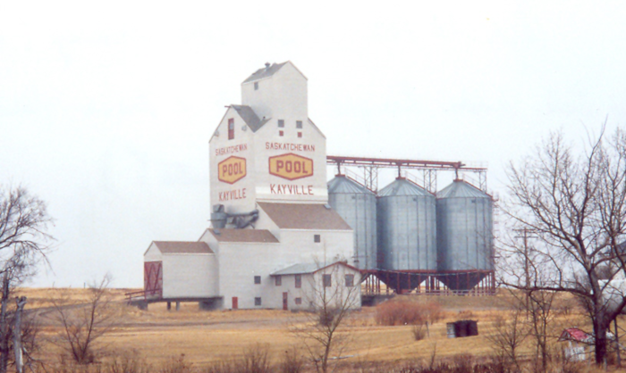
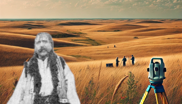
We will focus on locating the land at SW-16-09-24-W2 which was the homestead of Pentile “Peter” Popescul.
This address gives us five pieces of information which are presented to us beginning with the smallest unit and ending with largest unit. Let’s reverse them and look at them one by one beginning with “W2” which is the Meridian.
Meridian

- W1 -1st, also known as the Principal or Prime, meridian at 97°27′28.41″ west, just west of Winnipeg, Manitoba.
- W2 -2nd meridian at 102° west, which forms the northern part of the Manitoba–Saskatchewan boundary.
- W3 -3rd meridian at 106° west, near Moose Jaw and Prince Albert, Saskatchewan.
- W4 -4th meridian at 110° west, which forms the Saskatchewan–Alberta boundary and bisects Lloydminster.
This means that our example homestead is roughly located west of the Manitoba-Saskatchewan border, AKA the 2nd Meridian (W2).
Range

The Ranges are numbered and begin with 1 on the west of the meridian and proceeding west from the meridian (2, 3, 4, etc.) until you get to the next Meridian. Upon reaching the next Meridian the Range gets reset to 1. For whatever reason W1 is 34 Ranges wide where W2 and W3 are both 30 Ranges wide.
The Range combined with the Township form a grid location on a DLS map which will give you a clear idea where the land is.
Township

In my example the next unit, working backwards, is the Township “09”. The Township is a bit of a misnomer as it has nothing to do with a town or a municipality. A Township is a band about 6 miles (9.7 km) wide that runs across a DLS map east-west. Townships are each numbered beginning at the Canada-USA border with 1 and then proceeds northward with 2, 3, 4, 5, etc..
The Township forms a grid with the Range.
Beginning with the Meridian then counting Ranges to the west and then finding where the Range (east-west coordinate) intersects with the Township (north-south coordinate) you have then found 36 square miles on a DLS map in which your land resides.
Section

In my example the next unit, working backwards, is the Section “16”. A Section is a unit that describes land measuring about 1 square mile (1.6 km). Each Range/Township grid square is 36 square miles thus containing 36 sections.
Sections within a Range/Township grid square are labelled from 1 to 36. The numbering begins with 1 in the south-east corner of a grid square and the numbering proceeds first to the west with the numbering forming a serpentine pattern back and forth northward. See the below diagram.
Quarter-Section

In my example the next unit, working backwards, is the Quarter-Section. Each of the 36 sections can be divided into four quandrants: SE, SW, NE and NW. Usually pioneers began by homesteading a single quarter section.
Legal Subdivisions (LSD)
A section may also be split into as many as 16 legal subdivisions (LSDs). LSDs are commonly used by the oil and gas industry as a precise way of locating wells, pipelines, and facilities. LSDs can be “quarter-quarter sections” (square land parcels roughly 1⁄4 mile (400 m) on a side, comprising roughly 40 acres (160,000 m2) in area)—but this is not necessary. Many are other fractions of a section (a half-quarter section—roughly 80 acres (320,000 m2) in area is common). LSDs may be square, rectangular, and occasionally even triangular.